Planning a cultural mapping project
Numerous toolkits have been developed internationally to inform, guide, and advise cultural mapping projects. The toolkits provide a useful reference point for thinking through and planning a cultural mapping project, defining stakeholders, engaging with community members, and considering how and to whom the results should be delivered. They also reveal regional and local cultural specificities and the different contexts and purposes for which cultural mapping is carried out. We encourage you to explore the cultural mapping toolkit examples from different countries listed in Figure 4:13.
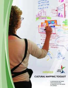
| Cultural Mapping Toolkit (2007), developed and published by the Creative City Network of Canada in partnership with 2010 Legacies Now.
Available: https://www.saskculture.ca/content/grant_application_ |
 |
|
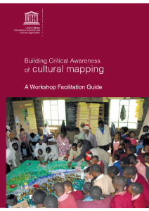
| Building Critical Awareness
of Cultural Mapping: A Workshop Facilitation Guide (2009), published by UNESCO. Available: http://www.iapad.org/wp-content/uploads/2015/07/nigel.crawhall.190314e.pdf |
|
|
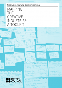
| Mapping the Creative Industries: A Toolkit (2010), developed by BOP Consulting for the British Council.
Available: https://creativeconomy.britishcouncil.org/media/uploads/files/English _mapping_the_creative_industries_a_toolkit_2-2.pdf |
|
|
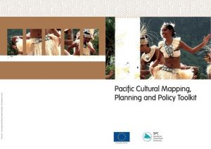
| Pacific Cultural Mapping, Planning and Policy Toolkit (2011), developed by Katerina Teaiwa and Colin Mercer for the Secretariat of the Pacific Community.
Available: https://www.researchgate.net/publication/216004693_Pacific_Cultural _Mapping_Planning_and_Policy_Toolkit |
|
|
| Cultural Mapping Toolkit: A Guide for Participatory Cultural Mapping in Local Communities (2019), published by the National Commission for Culture and the Arts, Philippines.
Available: https://ncca.gov.ph/wp-content/uploads/2020/08/WebPosting_Cultural-Mapping-Toolkit.pdf |
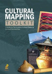 |
Figure 4:13. Examples of cultural mapping toolkits. Numerous cultural mapping guides and toolkits have been published internationally. Here is a small illustrative selection to give you an idea of the processes and categories employed in mapping cultural assets.
While it is not feasible to provide a detailed guide to the many aspects of planning a cultural mapping project (which are well outlined in toolkits), thinking about the project in terms of “4Is” – Investigation, Involvement, Interpretation, and Impact – can help you spotlight some of the key questions and topics to consider in its design and implementation (see Table 4:1). Considering these “4Is” will help you locate your own approach and orientation.
| Investigation |
|
| Involvement |
|
| Interpretation |
|
| Impact |
|
Table 4:1. The 4Is of mapping projects: Investigation, Involvement, Interpretation, and Impact
Technological considerations
In this chapter we have emphasised hand-drawn and hand-made cultural mapping practices as vehicles for planning, identity formation, participatory decision-making, and community engagement. Technological innovations are also ever-advancing in the areas of creating data (e.g., compilation of geographically distributed ‘public’ electronic inputs such as tweets, and intentional inputs from crowd-sourced or other dynamic data streams), meshing together data from different sources (with attention to metadata, system integration and interoperability, and dynamic and interactive presentations), analysing data (e.g., data aggregation, layering, mash-ups, modeling, etc.), displaying data (e.g., map layers, dynamic interactivity, ever-improving graphical renderings), and mobile usability (e.g., on-site demand, manipulation, and customised uses). All are influencing the evolution of cultural mapping.
We observe that these shifting and advancing technologies are engendering new ways of collecting and thinking through data and new vocabulary for technical processes that can become points of connection and shared methods across diverse projects. Organising and mapping data on technological platforms becomes an integral part of blending together the analysis and presentation processes with the enabled techniques and capabilities defining and inventing ways of exploring, combining, and understanding the data.
Site-developers must consider different functionalities and infrastructure needs of different types of users, from both back-end and front-end (public) perspectives, preferences, and capabilities. In presenting, (re)presenting, and (re)formatting data and knowledge, there is a heightened focus on hotspots, trails and pathways to navigate, timelines—storytelling articulated using technological terms. As well, attention to contemporary practices of exchange and sharing is evident, leading to the development of integrated dialogue platforms and other sharing modes. These key elements are defining flows and movements through information, enabling new approaches to personalised meaning-making with the data collected, and informing and inspiring new cultural mapping approaches. These new approaches and emerging projects are re-centering neglected histories, telling different narratives, and reformatting and animating knowledge for new generations.
Coupled with the possibilities of the new technologies, however, we must remain vigilant and wary of the potential widening of inequities. For those involved in cultural development work, especially, this calls for heightened attention to questions of access and skills/capacity as well as to the social and political consequences of the societal uses of these technologies. These concerns also relate to issues of outsiders bringing specialised knowledge and cartographic skills into a community-engaged map-making process, and the importance of building cartographic literacy within communities—as is the focus of many counter-mapping and Indigenous mapping initiatives in recent years (see, e.g., Johnson, Louis, and Pramono, 2005). In addition, it is important to recognise that the processes of making implicit knowledge explicit and mobilising the symbolic forms through which local residents understand and communicate their sense of place also have ethical and political dimensions.